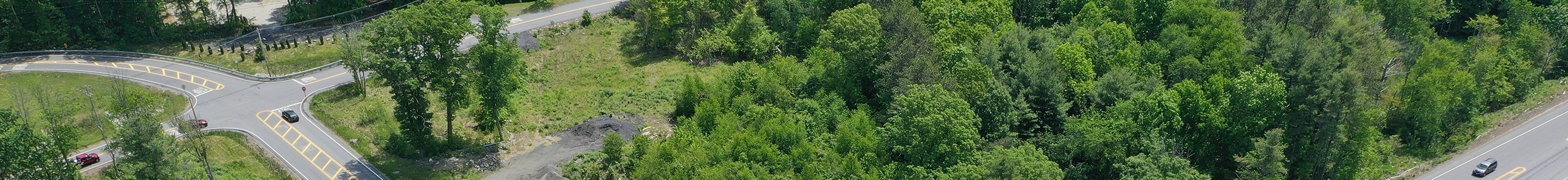
Home » Data Center » Visual Services Program
LRRP Boylston overhead intersection

Visual Services Program

Drone Services

CMRPC Visual Services staff are FAA Certified Drone Pilots and have the eye to create capitivating images and videos. Does your community need aerial photos of a development site you are looking to promote? We can do that! How about a video of downtown, a park, a trail, or anything else? Yes, we can do that as well.

If your community needs aerial photos to enhance and promote a project, plan, or initiative, contract with CMRPC.

Contact Us

Matthew Franz

Project Manager, GIS Specialist

Rob Raymond

Manager, Transportation Data Services

Municipalities and governmental entities are allowed to contract directly with CMRPC in accordance with MGL Chapter 30B Sections 1 (b) (3) and (b) (9). Contract with CMRPC, contact CMRPC’s Executive Director, Janet Pierce at jpierce@cmrpc.org

© 2023 CMRPC. All rights reserved. Design & Development by H Terry Designs

Skip to content