Trucking
Highway trucking activities in the greater region are monitored by the staff. As part of the traffic counting program, vehicle classification is determined so that the overall percentage of heavy vehicles can be monitored on a routine basis. Truck Travel Time Reliability (TTTR), which is reflective of overall traffic flow reliability in the planning region, is another topic that has received more attention recently and is reflected in staff’s ongoing Performance Management efforts. Staff has also recently started to assess freight accommodation on the federal-aid highway network through a series of studies that will eventually cover the entire planning region. The staff also monitors progress on major highway reconstruction projects that impact region truck flows. The lack of reliable truck parking for long-distance drivers is a concern that MassDOT is currently working to address with its regional planning partners.
Data
The following freight planning related data sources are available for use:
- CMMPO 2022 Performance Management Report Excerpt: Regional TTTR Overview
- North Subregion Highway Freight Accommodation Study
- West Subregion Highway Freight Accommodation Study
- Southwest Subregion Highway Freight Accommodation Study
- Southeast Subregion Highway Freight Accommodation Study
- Northeast Subregion Highway Freight Accommodation Study
- CMMPO 2022 – 2023 Freight Planning Progress Report
- CMMPO 2020 – 2021 Freight Planning Progress Report
- MassDOT State Freight Plan website
- I-495/I-90 (MassPike) Interchange Reconstruction Project website
- Route 20 Charlton-Oxford Reconstruction Project website
- FHWA – Jason’s Law Truck Parking Survey Results and Comparative Analysis: Appendix A (FHWA Freight Management and Operations) website
Freight Rail
Central Massachusetts is a significant intermodal freight hub in the state and the greater New England region. Currently, there are five active railroads in the planning region. These are:
- CSX
- East Brookfield and Spencer Railroad
- Grafton and Upton Railroad
- MassCentral Railroad
- Genesee and Wyoming Inc. (owner of Providence and Worcester Railroad)
Data
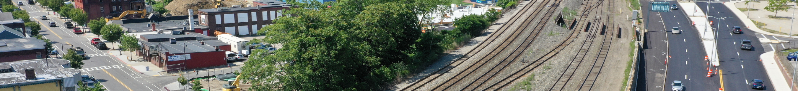
In addition, there are 10 major intermodal facilities operating throughout the planning region and they are located in the communities of Barre, East Brookfield/Spencer, Grafton, Hopedale, Upton, Westborough, and Worcester. Nine are rail-highway intermodal facilities and one, the Worcester Regional Airport, is an airside-highway intermodal facility.
The following data consists of a map of the railroad network within the planning region that shows the connectivity to the adjoining planning regions and neighboring states. Similarly, the next map shows the location of each of the 10 major intermodal facilities operating within the region. In addition, a series of labeled aerial images of each major intermodal facility is provided. Lastly, a regional inventory of at-grade highway/railroad crossings for each applicable community is provided.
- Freight Railroad Network with Major Intermodal Facilities
- Intermodal Site Aerial Graphic Series
- Federal Railroad Administration (FRA) At-Grade Highway-Rail Crossing Regional Inventory